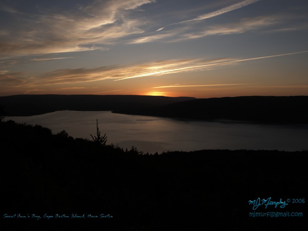
 A nice sunset shot of Saint Ann's Bay. We were on our way home after driving the Cabot Trail. Unfortunately the weather didn't cooperate with us for most of the day but it cleared up in time for a beautiful sunset.
Monday, July 31, 2006
Saint Ann's Bay At Sunset
A nice sunset shot of Saint Ann's Bay. We were on our way home after driving the Cabot Trail. Unfortunately the weather didn't cooperate with us for most of the day but it cleared up in time for a beautiful sunset.
Thursday, July 27, 2006
Summer Photo Story
 I have put together another Photo Story based on some of my spring/summer island photos. In order to keep the size down the resolution is only 640 X 480. The file is Windows Media Video format (WMV). It was encoded using the Windows Media Video 9.1 Image codec. I understand that some Mac users have difficulty viewing the WMV files. I have tried converting the WMV files to MOV, however, the quality seems to be getting lost in the conversion. Sorry 'bout that. :)
The link to the photo story can be found here or by clicking on the photo.

Wednesday, July 26, 2006
North River Little Falls
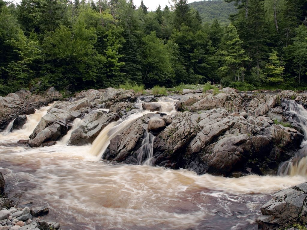 Today we took a short hike to the Little Falls in the North River Provincial Park. These falls are only about 10 feet in height but are quite wide. The hike to these falls is only about 2 km return and only has one slightly steep section. The trail is a little rough in spots but still a fairly easy hike when you only have a couple of hours to spare. The North River park has a much longer trail into a large waterfall (the largest in Nova Scotia) which is over 100 feet in height. The hike in is 9 km and is reported to be a good 6-7 hours hiking time. I hope to do this trail sometime later in the summer or perhaps early fall.
Tuesday, July 18, 2006
Soaring
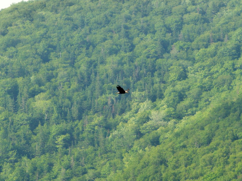 A bald eagle looking for supper soaring above Lake O'Law in North East Margaree. The rolling hills visible in the background. The eagle was a fair piece away and was a stretch for my 200mm lens. Not as close as I would have liked but it still makes a nice desktop wallpaper.
Monday, July 17, 2006
Egypt Falls

Subscribe to:
Posts (Atom)